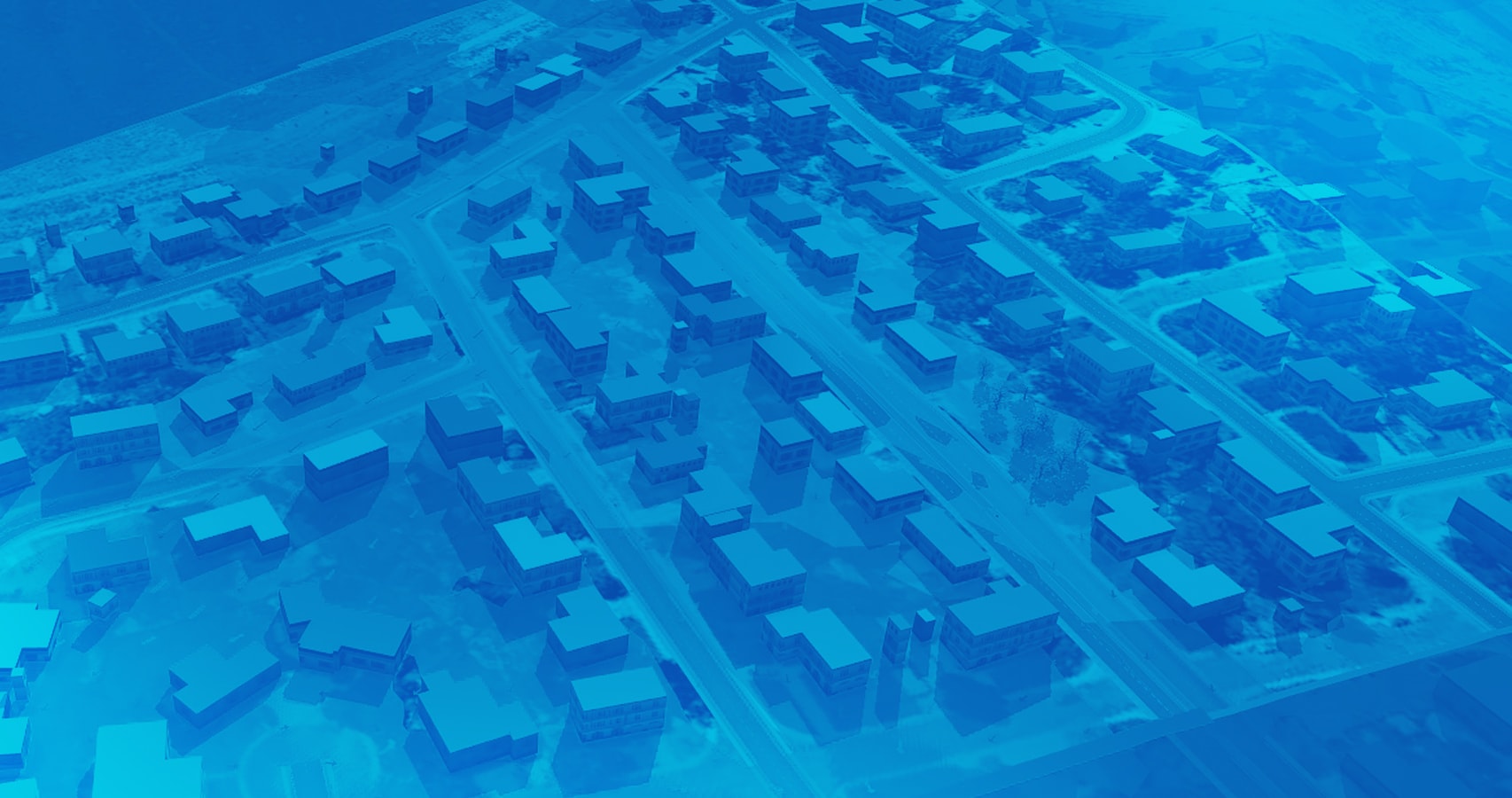
Design Smarter Buildings and Infrastructure
Engineers and designers need accurate, up-to-date data they can quickly share. Integrating Autodesk applications with ArcGIS allows users to see how a project fits into a location, better understand site conditions, conduct faster design reviews and share asset data.
Save Time Collecting and Sharing Information
Because engineers and designers can access ArcGIS content in Autodesk applications, they can reduce the time spent finding data, requesting it in a usable format, and importing it. They can also save data to ArcGIS where additional users can access and share information.
Optimise the Project Life Cycle
ArcGIS streamlines project delivery, from planning to operations. Esri's partnership with Autodesk enables you to deliver data to the right user, at the right time, with the right tool. Project information can easily follow the design process, seamlessly flowing between applications.
Easily Make and Share Project Maps
The collections enable teams to improve data visualisation, work better together and gain understanding of project status. These collections are built on Esri's powerful next generation GIS platform, enabling users to easily turn raw 2D and 3D project datasets into digital and print maps.
What is a Collection?
A pre-packaged configuration of ArcGIS products tailored specifically for your AEC firm. Includes ArcGIS Online with Apps and Capabilities to create, manage, visualise and share project data.
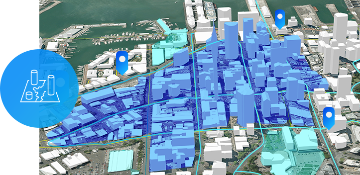
Location + Design
Leverage geospatial data in your Autodesk products to:
- Increase design efficiency.
- Add context to your design.
- Access authoritative GIS content.
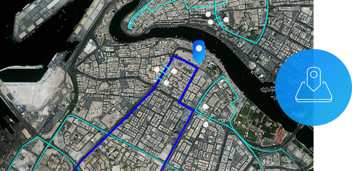
Field Operations
Improve project coordination and operational efficiency by:
- Easily accessing GIS data collected from the field.
- Modernising field data collection.
- Gaining greater visibility into field operations.
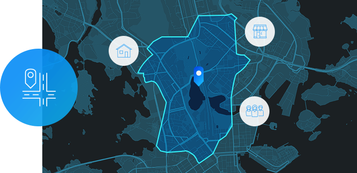
Site Selection
Simplify your design process by:
- Assessing project site viability.
- Validating design decisions.
- Helping your clients make better informed decisions.
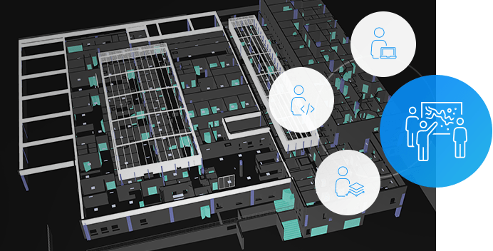
Collaboration
Deliver projects more efficiently by:
- Sharing project information with clients.
- Streamlining project reviews.
- Reducing project overhead expenses.
Connects with the Autodesk AEC Collection
ArcGIS with Autodesk Architecture, Engineering & Construction Collection helps you collect and analyse data from the field, improve communication with key stakeholders and puts your projects into a geographic context to help understand the impacts to the environment.
Free 30 day trial
Sign up todayOther Ways to Contact Us
Office Locations