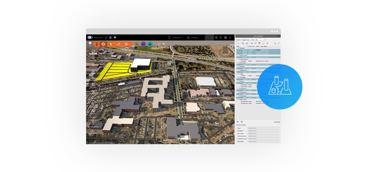
Increase design efficiency
Reduce design errors and data duplication by connecting your Autodesk products to a single source of truth for your GIS content.
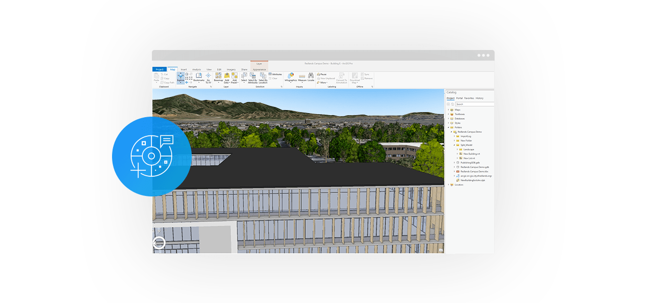
Add location context to your design
Enhance your designs by adding contextual GIS data into Autodesk products to help you deliver your projects ahead of schedule and on budget.
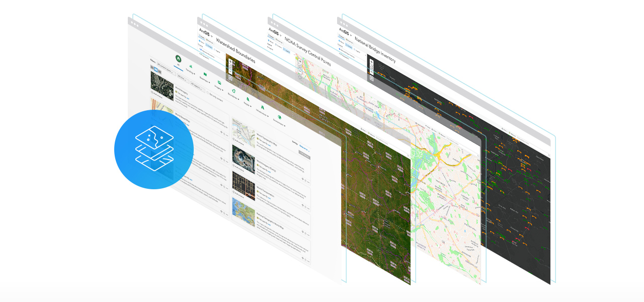
Access authoritative GIS content
Accelerate your project by connecting to thousands of authoritative datasets from ArcGIS Living Atlas of the World, which includes data provided by government agencies, local municipalities, and other authoritative organisations.
What’s in the ArcGIS for AEC Location + Design Collection?
The Location + Design Collection makes it easy to create and share valuable GIS content with Autodesk users.
ArcGIS Online Creator
Quantity: 1
- Create maps and apps with your data
- Access authoritative data to accelerate your work and expand analysis
- Analyse data to understand trends
- Share maps with stakeholders in a variety of ready-to-use apps
ArcGIS Online GIS Professional Basic
Quantity: 1
- Create maps and apps
- Analyse data to understand trends
- Share maps with your team or the public
- Collaborate with team members
- Administer users and content within the subscription
- Use content from ArcGIS Living Atlas of the World
Show More
Free 30 day trial
Sign up todayOther Ways to Contact Us
Office Locations