What is GIS?
A framework to organise, communicate and understand the science of our world
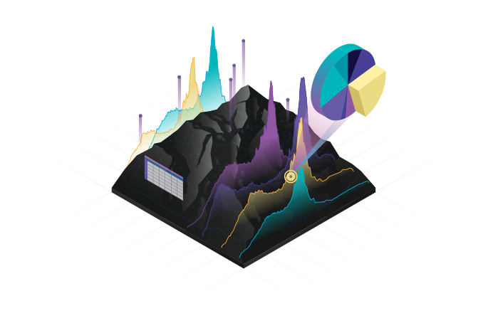
What is GIS?
Hundreds of thousands of organisations in virtually every field are using GIS to make maps that communicate, perform analysis, share information and solve complex problems around the world. This is changing the way the world works.

Identify problems
Use GIS to illuminate issues that are driven by geography. This map reveals geographic insights into the problem of fly-tipping.

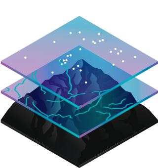
Monitor change
If a picture tells a thousand words, a map tells a thousand pictures. This map shows the changing British landscape from the Ice Age to the Present.

Manage & respond to events
GIS delivers real time situational awareness. This map shows how a water utility company can monitor its network and respond dynamically to leaks and other disruptions affecting the network.

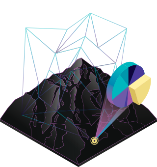
Perform forecasting
New Housing Developments need to be carefully planned and those affected by the work need to be properly informed. ArcGIS provides tools for identifying potential development sites through to sharing views during the full lifecycle.

Set priorities
GIS helps to set priorities based on spatial analysis. Gathering information from the community and analysing crime patterns police can identify target areas and plan strategically to address crime.

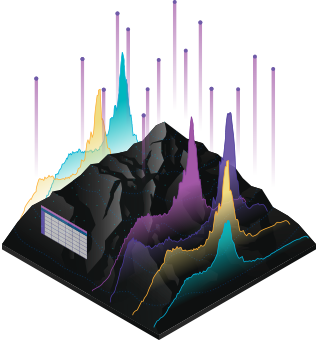
Understand trends
GIS helps you gain insight into data that might be missed in a spreadsheet. This map explores how to build healthy communities including how the geographic prevalence of diabetes is increasing in some areas more than others.
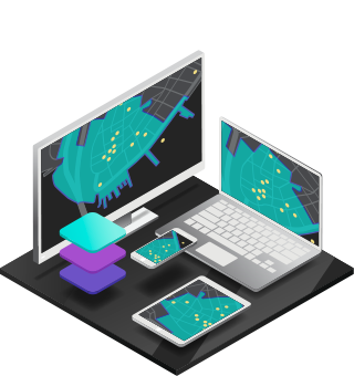
How GIS works
GIS technology applies geographic science with tools for understanding and collaboration. It helps people reach a common goal: to gain actionable intelligence from all types of data.