Healthcare
Location intelligence is key to understanding national and local patterns in health, from providing insight on localised health inequalities to responding to outbreaks at any scale.
DR ESTE GERAGHTY, CHIEF MEDICAL OFFICER, ESRI
COVID-19 and Crisis Management - a GIS Approach
How the COVID-19 pandemic is seeing the worldwide GIS community come together to create information products, dashboards, hubs and apps to drive understanding and response.
Improve your population's health
National Agencies & Public Bodies
Deliver interconnected, proactive care and better understand localised health inequalities whilst collaborating securely with partners.

Integrated Care Systems & Health Boards
Engage and involve the citizens you serve to promote a shared responsibility for health and well-being, promoting prevention through evidence-based interventions.
Local Public Health & Social Care
Optimise your Local Outbreak Management Plan (LOMP) for infectious disease response and monitor your local environment to inform community health transformation.
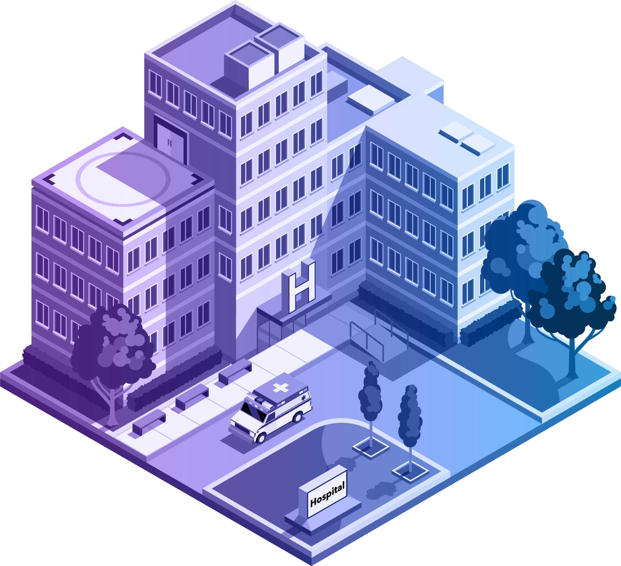
Hospitals
Through a 3D, real-time digital twin of your hospital you can revolutionise facilities management and efficiently route patients and staff to where they need to be.
Geospatial gives health an advantage
Health organisations are discovering that location intelligence provided through GIS technology delivers solutions to challenges from optimising service provision to resource allocation and prevention programmes.
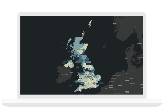
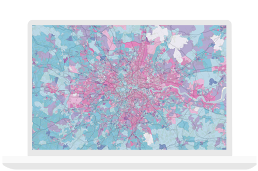
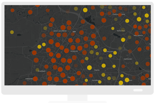
Collect, visualise and analyse
Simplify data collection on any device, including smartphones, wearable devices and Internet of Things (IoT) sensors. Create easy-to-use maps and analytics that improve everyone's understanding. Analyse complex issues and reveal hidden patterns in data.
Collaborate and share
Share maps and analytics securely with staff, partners or citizens to support effective service delivery. Dashboards, story maps, interactive web maps and infographics provide intuitive and effective communication tools.
Informed Response
Take a proactive approach to health interventions and optimise healthcare provision by making evidence-based decisions to improve outcomes.
UK Geospatial Strategy - Public Health
The Geospatial Commission, part of the Cabinet Office, publishes the UK Geospatial Strategy, “Unlocking the power of location”, recognising the transformative potential of geospatial data and applications for government and the UK economy. The strategy states that “Modern location enabled technologies have huge potential to further improve public health outcomes”. It goes on to discuss designing “more targeted and informed health interventions” and, as has been seen with the John Hopkins COVID-19 dashboard, identifies the “potential to track the real-time spread of disease”. As the worldwide market leader in location intelligence and geospatial solutions, Esri is leading the charge to realise that potential.