Why we love it
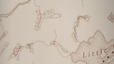
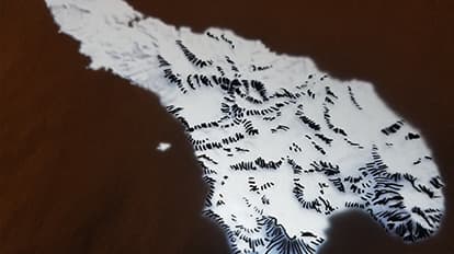
Modern-day mapping allows us to create highly accurate, beautiful maps within a digital format. We love how this map combines digital precision with the alluring aesthetic of hand-drawn cartography. We see a charming representation of Iturup, an island situated between Russia and Japan. The mapmaker used ArcGIS Pro to layer in artist-drawn hachured mountains, adding charm and character. Reminiscent of an earlier era cartography, this multilingual map uses a black-and-white palette for all map elements, including its striking graticule, to accomplish stunning minimalism.
Why it works
Mapping the volcanic island of Iturup with individual hand-drawn mountain ranges immediately draws viewers into this area of disputed territory. The clever use of English, Japanese, Russian and Ainu for the map's title contributes to the interesting history of this island, detailed within the map's text. Two carefully placed inset maps situate the island within its regional and global context. The stark palette and clean layout contribute to this map's legibility and beauty.
Important steps
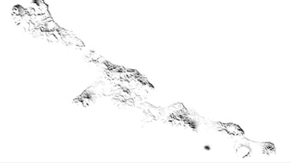
Add a hillshade layer to ArcGIS Pro
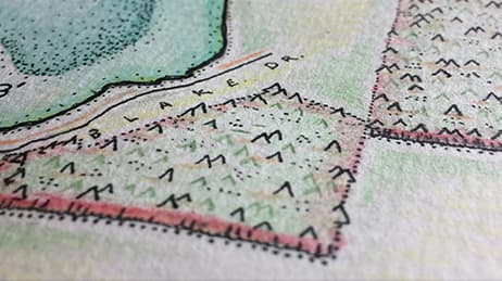
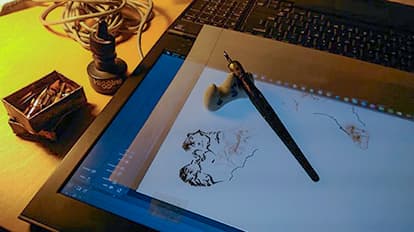
Trace the hillshade layer
Finish up the drawing
Georeference the scanned image
Requirements
Materials and software
Analysis
Time
Tips and tricks
Identify one reference layer to trace
Keep the paper free of crinkles
Trace the terrain to scale or larger
Resources
Map Author
Heather Smith
Heather Smith is a cartographer and artist. She works at Esri designing and testing symbology features in ArcGIS Pro.