Dr. Earl Edwards
Keynote Speaker
Enterprise GIS Solutions Consultant & Lecturer in Geospatial Information Sciences, The University of the West Indies, St. Augustine, Trinidad
Virtual Forum
View the presentations below
Developing Spatial Literacy, Inspiring A Generation, Building Our Future

Dr. Earl Edwards
Keynote Speaker
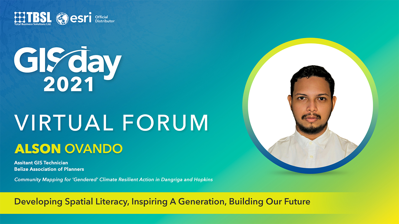
Alson Ovando
Assitant GIS Technician | Belize Association of Planners
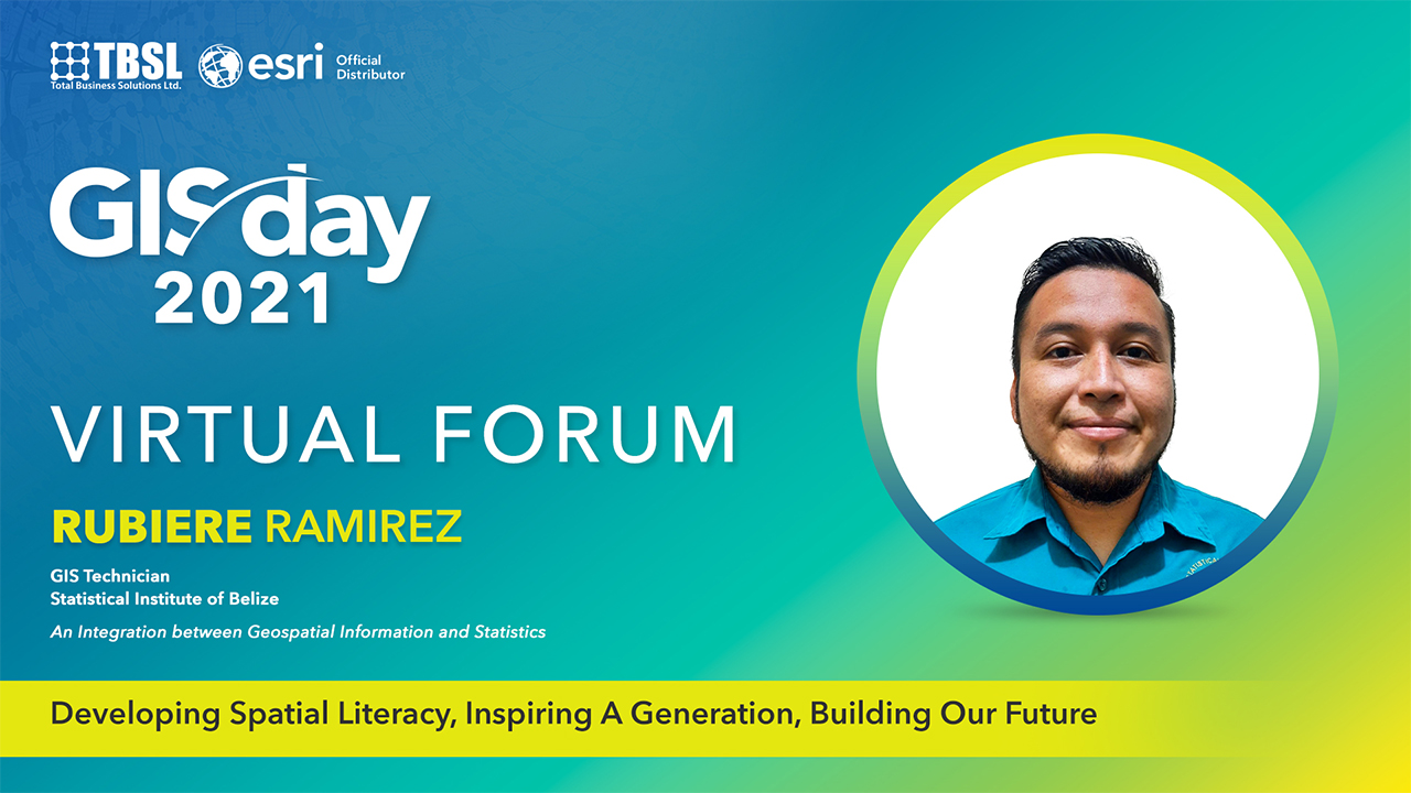
Rubiere Ramirez
GIS Technician | Statistical Institute of Belize
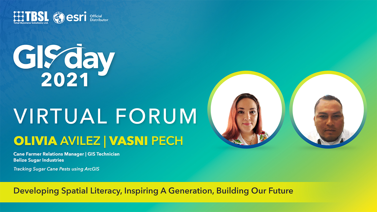
Olivia Avilez | Vasni Pech
Belize Sugar Industries Ltd., ASR

Wuelmer Escobar
IT/GIS Specialist | Ministry of National Defence and Border Security
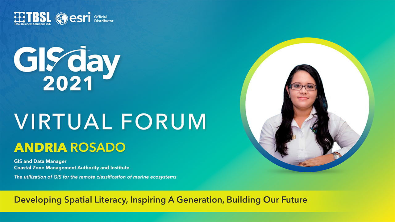
Andria Rosado
GIS and Data Manager | Coastal Zone Management Authority and Institute
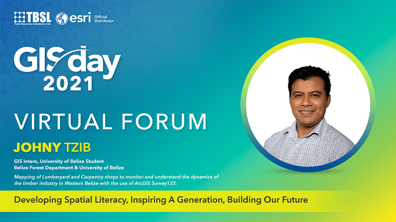
Johny Tzib
GIS Intern, University of Belize Student | Belize Forest Department & University of Belize