Areas of support
How Esri’s Disaster Response Program can help you
ArcGIS software
Esri customers can temporarily extend existing licenses to support their organisation’s increased GIS requirements during a disaster response. New to GIS or not yet a customer? Gain temporary access to ArcGIS, the world’s leading GIS platform.
Workflow implementation
Geospatial data
Technical support
Help when you need it most
Maintain Situational Awareness and Connect Communities During Disasters Using ArcGIS
Discover the power of ArcGIS to manage emergencies and the flow of public information.
The story of GIS in disaster response
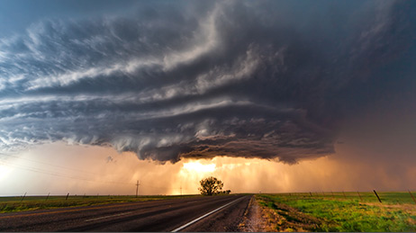
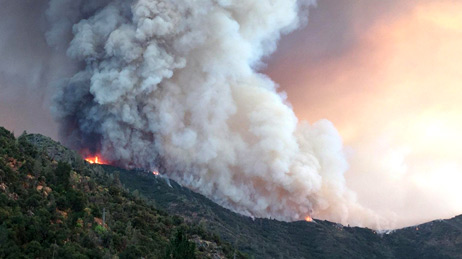
Busiest year on record
The Disaster Response Program had its busiest year on record as a result of three major hurricanes, multiple devastating wildfires, and severe flooding.
Malaysia Airlines flight MH17
The Disaster Response Program assisted with rapid information sharing capabilities between multiple global locations in a matter of hours in response to the downing of Malaysia Airlines flight MH17.
Deepwater Horizon Gulf Oil Spill
Multiple organisations shared situational awareness applications that supported the response and clean-up efforts for the Deepwater Horizon Gulf Oil Spill.
Hurricane Katrina
Katrina was one of the costliest tropical cyclones in US history. The Disaster Response Program provided direct support for several agencies, including a regional database, damage assessment, search and rescue, and map production.
9/11 World Trade Center
An emergency operations centre with GIS capability was established on Pier 92 to support the World Trade Center response and recovery efforts. 20,000 maps were produced in the weeks following the 9/11 terrorist attacks.
Northridge earthquake
Esri's first activation of the Disaster Response Program supported the response to the Northridge earthquake with advanced impact modelling and damage assessments.