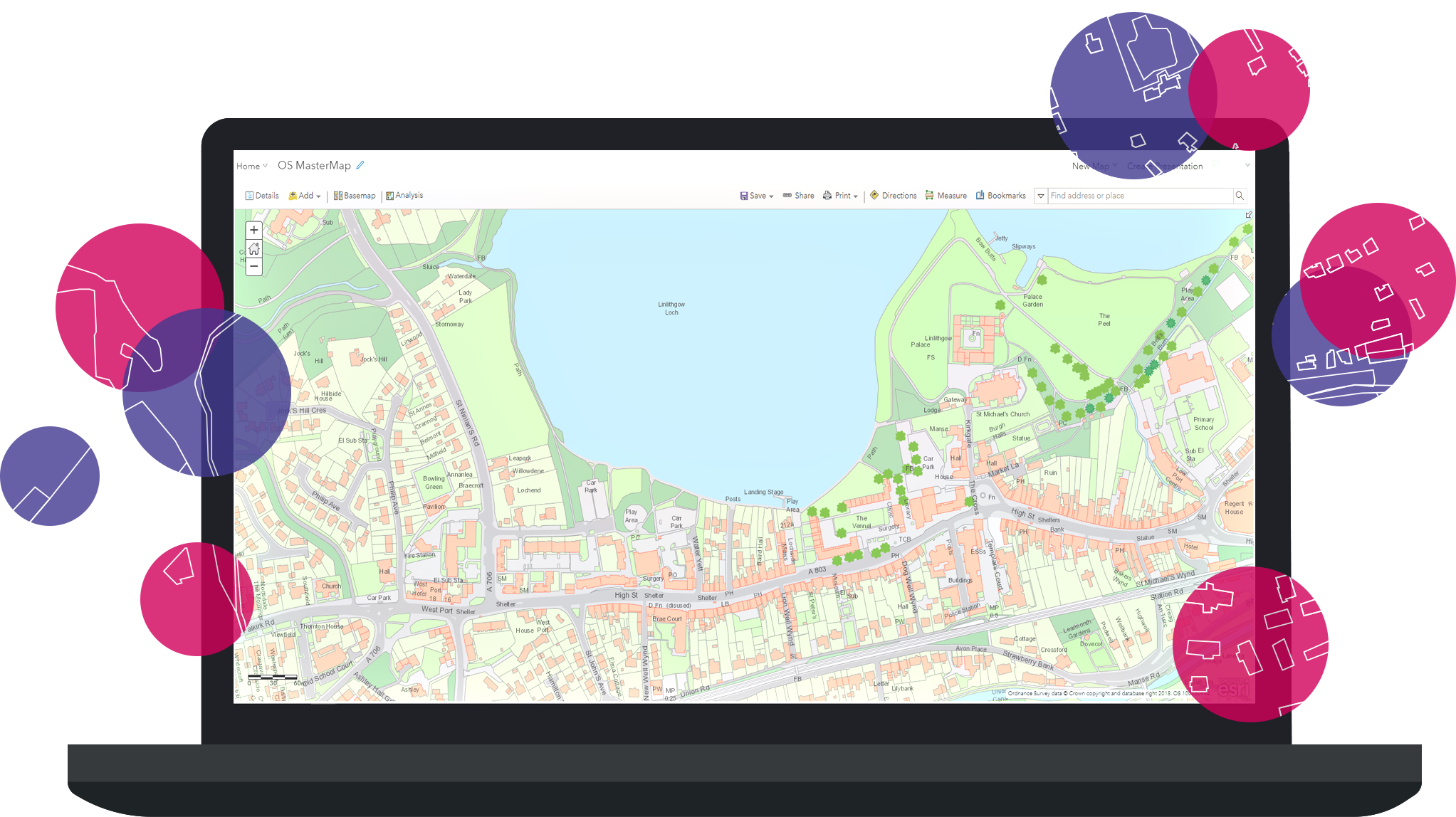
Ordnance Survey Data
Getting the most out of your OS data using the ArcGIS Platform
Purchase your Ordnance Survey data from us
Esri UK is a partner and reseller of Ordnance Survey data. We provide the data in Esri format ready for use to use in the ArcGIS Platform.
Please contact us at content@esriuk.com to discuss your data requirements with us or visit our content pages to find out more about all the data available from Esri UK.
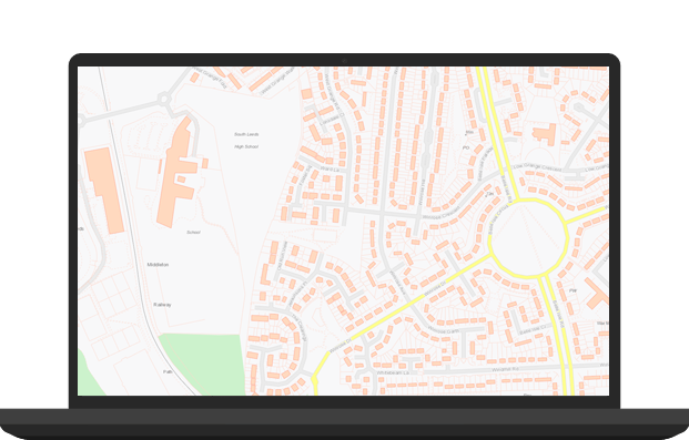
Free Online Services
Built from the Ordnance Survey's Open Data offerings, choose from five highly accurate and attractive services to use as background mapping to your data. Also available are three locators which allow to search, geocode and reverse geocode your data.

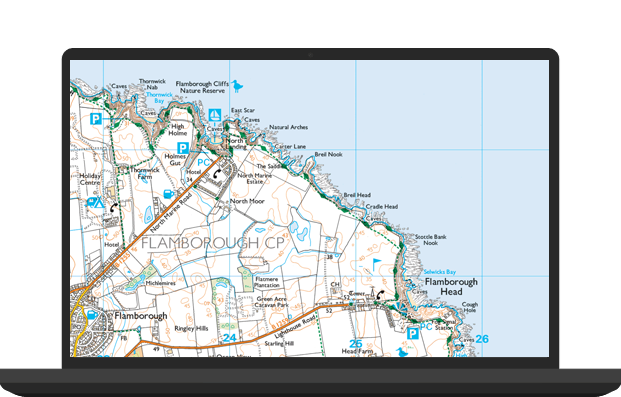
Premium Online Services
Premium basemaps are available to customers with a Public Sector Mapping Agreement (PSMA) or a One Scotland Mapping Agreement (OSMA) licence.
Using the Ordnance Survey's comprehensive premium data offering, our premium data services provide impressive levels of detail and are frequently updated to keep them in line with changes in the real world.
Ready to use data
Esri UK can resupply your licensed Ordnance Survey data, in file geodatabase or map cache format, to ensure you access the value of the data faster.

Tools to load the Ordnance Survey Data
If you prefer to process the raw Ordnance Survey data yourselves then Esri UK provide tools to help you do this