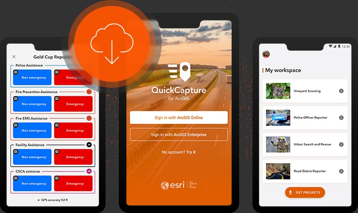


Download the app
Works on Android, iOS and Windows mobile devices. ArcGIS QuickCapture leverages the built-in GPS and camera on your smartphone or tablet.
The app for rapid data collection
Works on Android, iOS and Windows mobile devices. ArcGIS QuickCapture leverages the built-in GPS and camera on your smartphone or tablet.
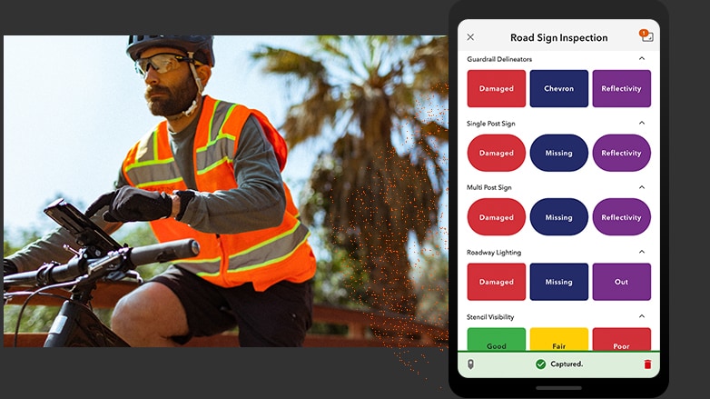
Open the app and tap a button to use ArcGIS QuickCapture. No time is spent writing notes or finding GPS coordinates—the app knows where users are.
ArcGIS QuickCapture is integrated with your existing IT infrastructure and the ArcGIS platform, so data transmits from the field instantly.
Case Study
ArcGIS QuickCapture was an instant hit. It was the perfect data collection app for us to use in the field and gives us the ability to get the information we need in real time.
Patrick Sowers
King County Noxious Weed Control Program
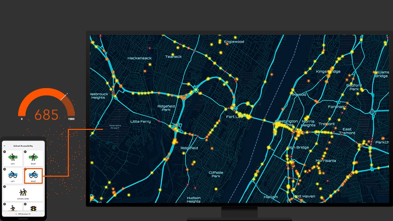
Use ArcGIS QuickCapture data for analysis in ArcGIS immediately - to better understand what's going on in the field. See why projects may be falling behind—before deadlines are missed.
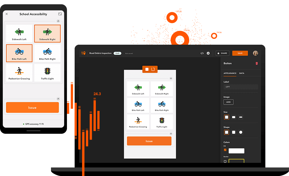
Build on your existing GIS system. ArcGIS QuickCapture integrates with your existing IT infrastructure and the ArcGIS platform, so implementation is a breeze.