Why we love it
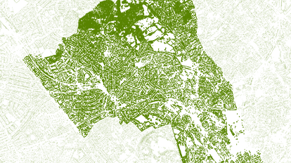
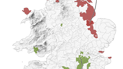
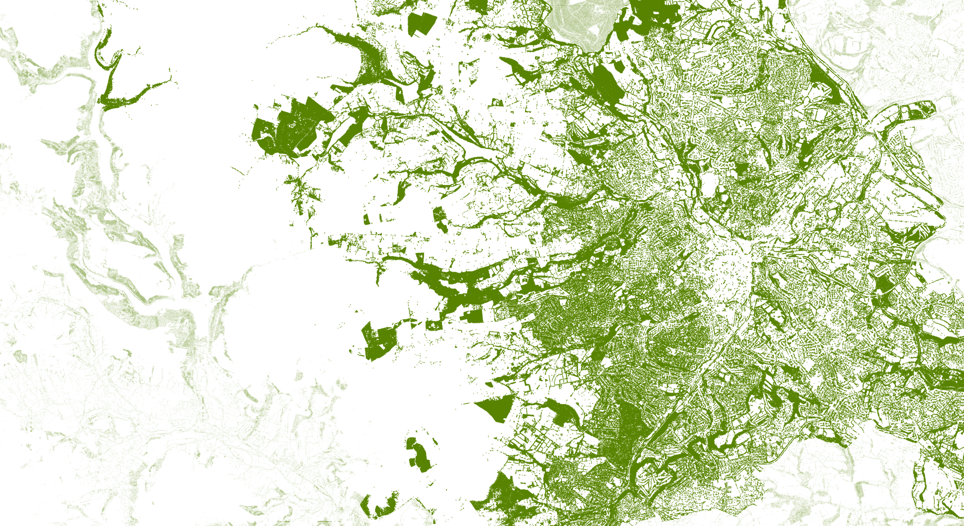
A map that focuses on the environment by removing roads, buildings and cities, will immediately draw the attention of any map enthusiast. With over 260 million points, it’s certainly a map that carries a lot of data and reveals fascinating patterns. Displaying the National Tree Map data from BlueSky International, this series of maps reveals what local authorities look like by only showing tree locations.
Why it works
Sometimes less is more on a map. Showing only the tree locations creates a fascinating pattern and cartography style that doesn’t need much more. With an additional topography layer (on the BBC version), this makes it easier for the user to navigate round the map. The map’s beauty lies in its simplicity (and the lovely shade of green, of course).
Requirements
Data and software
Esri UK created the Trees map using the National Tree Map dataset from BlueSky International, designed with ArcGIS Pro 2.4.
Analysis
The map displays simple point locations for each tree over 3 metres tall (England and Wales), which resulted in 260 million trees. To render this, a virtual machine was used to visualise and export each image.
Time
The map took several days to render and export, with small changes taking a long time to amend due to the large dataset. So the best approach is to pick a colour and stick to it!
Tips and tricks

Azure virtual machine
Using an Azure virtual machine was key to the success of this project, as otherwise local machines wouldn’t cope with the large dataset.
Cartography style
Adopting the less is more cartography style for this map allowed it to really stand out, sometimes you don’t need 101 things on a map to make it interesting.
Adding topography layers
Adding a topography layer (BBC version) really adds depth to the basemap-less map and allows the user to navigate round without labels.
Map Author
Sam Bark
Sam Bark is a Cartographer on the Product Communications team at Esri UK. Aside his passion for map design, Sam’s other interests extend to fair-weather cycling, London’s diverse food scene and photography.