Why we love it
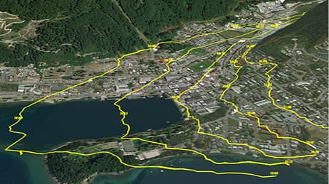
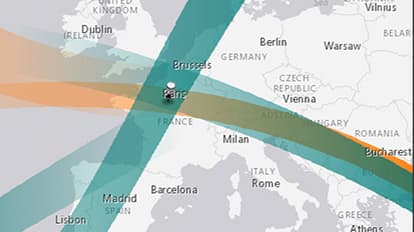
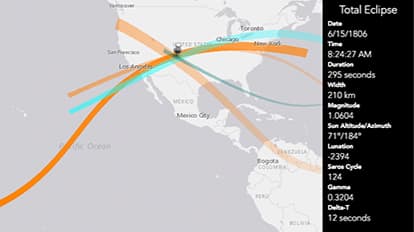
The Solar Eclipse Finder map underscores why people are enthralled by these rare, fleeting celestial events. This map is your guide to one of nature’s most spectacular shows, detailing eclipse duration and the path of the moon's shadow. A quick demo shows how to use the map. A binary colour scheme (green for past and orange for future) simplifies the experience and makes a legend unnecessary. We love how you can click a location to reveal any of the 905 solar eclipses between the years 1601 to 2200.
Why it works
Here is a great example of the notion that sometimes “the map is the interface.” Within the Solar Eclipse Finder map, details emerge as you explore each location and each solar eclipse path. Rather than plot the paths as solid blocks, the map author uses gradient effects and line tapering. The map works because it gives an accurate portrayal of events and provides an evocative experience. Going beyond standard techniques, the map’s gradient effects capture the graceful and sweeping nature of an eclipse.
Important steps
Choose an app template
Download popover tool and modal dialog
Get tapered symbol with a linear gradient fill
Use a muted basemap
Requirements
Data and software
Analysis
Time
Tips and tricks
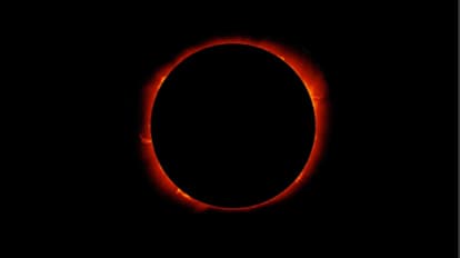
Use photos explaining annular/total solar eclipses
Go easy with the UI
Keep explanations brief
Resources
Map Author
Richie Carmichael
A 13-year veteran at Esri and the Applications Prototype Lab. Trained as a New Zealand land surveyor. Striving for world peace one map at a time.