Why we love it
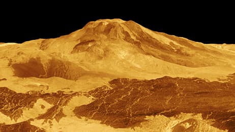
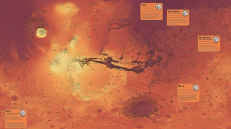
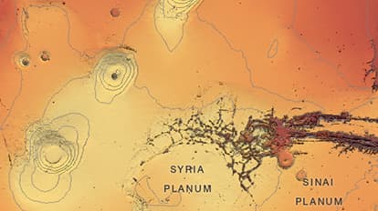
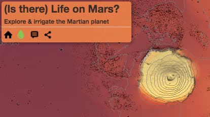
Interact with Mars’ craters and volcanoes. See all the places humans have touched through space missions and astronomical observations. Click to reveal details of landings (or crashes). Use the map legend to irrigate the planet and see how it might look if water were indeed to create oceans and lakes on Mars. We love how this map paints a picture of Mars and all that we have done to explore that far away fiery red planet.
Why it works
Maps provide a window to places we might never see with our own eyes. This map works because it takes elevation data from USGS and reinterprets it in a way that captures the drama of the Mars landscape. It invites us to explore and through pop-ups reveals information about features and human history. The map entertains our curiosity as well—what would it be like if there was water (and then life) on Mars?
Important steps
Use colours with meaning
Hillshade for a dramatic sky and landscape
Use craters as details and graphics to mark location
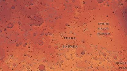
Label the planet’s features
Placeholder
Requirements
Data and software
Analysis
Time
Tips and tricks
Use subtle effects to make labels readable
Combine terrain effects
Try to limit clutter on and around the map
Resources
Map Author
Ken Field
Professional carto-nerd, amateur drummer and snowboarder. High quality, innovative, and sometimes a little crazy cartography in modern maps.